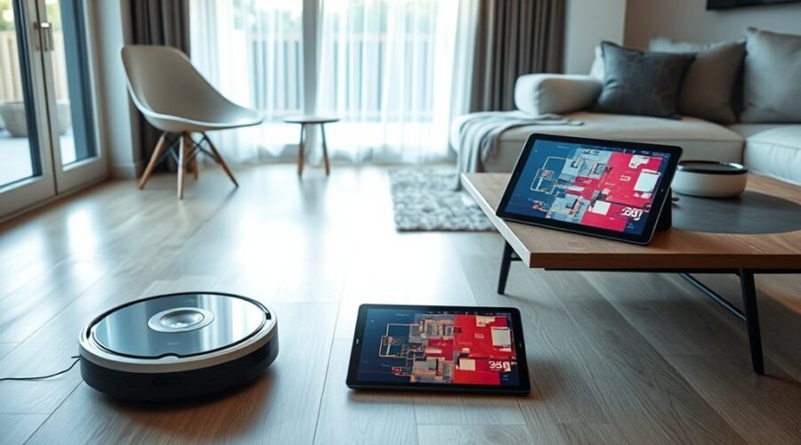
Robot vacuum maps are often accurate enough for reliable cleaning, with top systems reaching near 98% recognition in ideal conditions. Yet performance depends on sensor type, lighting, floor changes, and early obstructions during mapping. LiDAR, cameras, and hybrid setups each produce different results, and even strong maps can drift after furniture moves or rooms change. The real question is how these systems create and maintain that precision.
How Accurate Are Robot Vacuum Maps?
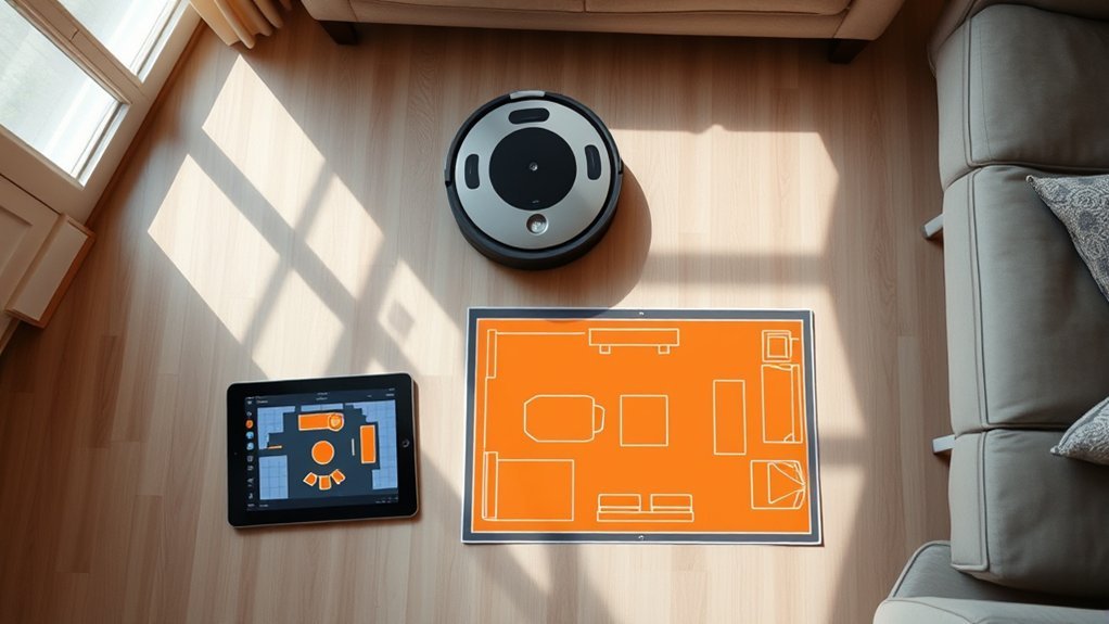
Robot vacuum maps can be highly accurate, with advanced systems reaching up to 98% recognition of room layouts, walls, and furniture when sensor quality is strong.
In practice, robot vacuums map spaces with precision when mapping algorithms combine LiDAR technology, cameras, and obstacle detection. Advanced models can preserve accuracy in dim conditions and adjust in real time as furniture shifts or rooms are reconfigured.
Robot vacuums map with precision, combining LiDAR, cameras, and obstacle detection to adapt as rooms change.
Hybrid mapping systems further support reliable navigation by reducing errors from reflective floors and glass. Such performance allows a household to be charted as a legible environment rather than a fixed constraint.
Yet accuracy is not absolute; moving objects can interrupt the scan, requiring AI-driven updates to restore fidelity. Under stable conditions, the resulting map is often detailed enough for efficient route planning, room separation, and repeated cleaning cycles.
What Affects Robot Vacuum Map Accuracy?
Map accuracy depends primarily on sensor quality, environmental conditions, and the presence of obstructions during scanning. Strong sensor technology, especially LiDAR, typically improves mapping accuracy in low light, while camera-based units lose reliability in darkness. Reflective surfaces such as glass and polished floors can distort readings and warp the digital map, reducing precision. Hybrid systems reduce these failures by combining complementary sensing methods.
- Obstacles and furniture block scans, creating gaps and positional errors.
- Dynamic rooms require advanced AI to revise the map as layouts shift.
- Multiple cleaning sessions usually refine the model; major changes may require a new map.
In practice, accuracy rises when the route is clear, lighting is stable, and movement is limited. Where conditions remain unstable, the system can only approximate the home. A precise map is thus not a fixed authority, but an evolving technical record shaped by sensor limits and environmental freedom.
How Do Robot Vacuums Build a Floor Plan?
A floor plan is built when the vacuum uses sensors such as LiDAR and cameras to scan walls, furniture, and other obstacles during an initial cleaning run. This mapping phase converts raw measurements into a digital floor plan stored for later sessions. Advanced algorithms fuse sensor data, trace room edges, and infer accessible zones, so cleaning paths can be planned with minimal wasted motion and greater accuracy.
| Step | Function |
|---|---|
| Scan | sensors collect spatial data |
| Process | algorithms convert data into mapping output |
| Store | floor plan guides future cleaning paths |
During operation, the robot compares new readings against the saved map, adjusting routes as obstacles shift. Mapping quality depends on sensor quality, layout changes, and dynamic objects that may distort the representation. In practice, the result is a navigable model that supports efficient, autonomous movement and reduces unnecessary repetition.
Robot Vacuum LiDAR vs Camera vs Hybrid Mapping
LiDAR mapping generally provides the highest geometric accuracy because laser-based distance measurement remains reliable in low light and produces detailed floor plans.
Camera-based mapping is stronger in object recognition but is constrained by lighting conditions, which can reduce positional precision and consistency.
Hybrid systems combine both sensors to improve obstacle detection, support real-time map updates, and maintain accuracy in more variable environments.
LiDAR Mapping Accuracy
Precision mapping hinges on the sensing method, and LiDAR systems generally produce the most accurate robot vacuum maps because they measure distances directly and build detailed room layouts with high consistency, even in low light.
LiDAR mapping delivers superior accuracy through advanced sensors and stable geometry extraction, enabling detailed room maps that support efficient navigation and obstacle detection.
- Sensor quality strongly influences map fidelity.
- Environmental factors alter consistency, but LiDAR remains robust.
- Hybrid mapping systems can extend precision by fusing laser and camera data.
Advanced LiDAR units can identify over 200 obstacle types, improving adaptive routes.
In comparison, camera-based systems depend more heavily on lighting and scene interpretation.
For users seeking autonomy, LiDAR offers a practical path to precise, reliable mapping with fewer constraints.
Camera Mapping Limits
Although camera-based robot vacuum mapping can work well in clear, well-lit spaces, its accuracy drops when lighting changes or objects obscure the view.
Camera-based mapping depends on visual cues, so low light conditions reduce object recognition and weaken mapping accuracy. Reflective surfaces, including glass and polished floors, can distort perception and disrupt obstacle detection, producing incomplete room data.
By contrast, LiDAR technology measures distance with laser pulses and builds detailed 360-degree maps even in darkness. Its continuous scanning supports more precise navigation than camera systems alone.
In constrained environments, hybrid mapping systems pair LiDAR and cameras to correct visual errors and maintain steadier spatial models.
For users seeking dependable, autonomous coverage, this difference is significant.
Hybrid Mapping Advantages
Hybrid mapping systems combine LiDAR’s distance measurement with camera-based object recognition to improve room mapping accuracy across a wider range of conditions.
In hybrid mapping, LiDAR builds detailed 360-degree geometry, while cameras add object detection and feature context for navigation. This dual sensing improves accuracy in low light, reflective surfaces, and complex environments where either method alone may fail.
Real-time updates let the robot revise routes around moving obstacles, preserving cleaning efficiency and reducing collisions.
- LiDAR supplies precise spatial distance data.
- Cameras strengthen object detection under varied lighting.
- Combined sensing supports adaptive navigation in dynamic homes.
Systems such as the Narwal Freo Z10 Ultra can identify over 200 obstacles, showing how hybrid mapping expands operational freedom through more reliable, responsive floor coverage and map continuity.
Why Lighting Changes Robot Vacuum Map Quality
Robot vacuum map quality often drops in dim or uneven lighting because camera-based systems depend on ambient light to identify obstacles and track room geometry accurately.
In robot vacuum mapping, lighting conditions directly affect object recognition, so poor illumination can reduce mapping accuracy and produce incomplete room outlines. Consistent ambient light supports stable data capture, while sudden shifts in brightness can introduce sensor noise and distort the map.
Reflective surfaces such as glass or polished floors further challenge camera-based systems by scattering visual cues.
By contrast, LiDAR technology preserves precision in darkness because it measures distance with lasers rather than relying on light. This makes it less vulnerable to environmental variation and more suitable for dynamic environments where conditions change.
When lighting remains steady, the robot records cleaner spatial data, enabling more reliable navigation and offering users greater control over household mapping outcomes.
How Obstacles and Pets Disrupt Mapping
Beyond lighting conditions, physical movement in the home can also reduce robot vacuum mapping accuracy. Obstacles such as furniture legs, toys, and clutter can interrupt sensor readings, causing robot vacuums to misclassify space and leave missed zones.
Pets introduce another variable: when they move during scanning, the map may become unstable, and later cleaning routes can be recalculated incorrectly. In dynamic environments, this instability is significant because paths must remain responsive without sacrificing precision.
- Hybrid mapping systems combining LiDAR and cameras can identify obstacles more reliably.
- AI algorithms support real-time adaptation when pets cross the cleaning path.
- Regular remapping helps preserve mapping accuracy as furnishings and pet behavior change.
These systems do not eliminate disruption, but they reduce it by detecting motion, updating boundaries, and preserving operational freedom. For households seeking control over automated cleaning, such adaptive methods improve consistency while limiting avoidable navigation errors.
Can Robot Vacuums Map Multiple Floors?
Yes—many advanced robot vacuums can map multiple floors by saving separate layouts for each level, which allows them to adapt their navigation to different home structures.
In practice, multi-floor mapping depends on the robot’s mapping capabilities and the quality of its mapping technologies. Models such as the Narwal Freo series can create a map for each story, while systems like the eufy X10 Pro Omni support Multi-Map Saving for up to five distinct floor plans.
For reliable results, the robot should begin each session from the correct starting point on the target level, so the layout of your home is recorded accurately. This procedure supports efficient cleaning by letting the device recognize which map to load before traversal.
However, significant changes in room structure, furniture placement, or floor design may require re-mapping. Advanced mapping thus functions as a controlled, floor-specific data set rather than a single universal plan.
How to Improve Robot Vacuum Map Accuracy
Improving robot vacuum map accuracy begins with controlling the conditions under which the map is created and maintained. During initial mapping, stable lighting matters for camera-based units, while LiDAR systems preserve mapping accuracy in darkness. Advanced robot vacuums with hybrid mapping systems can reduce error by fusing range data and visual cues.
- Cleaning sensors and cameras regularly prevents dust films from degrading spatial reads.
- Virtual walls or boundary strips constrain the robot, limiting wasteful exploration and sharpening boundaries.
- After furniture moves, update map records in the app or recreate the layout so navigation reflects the current room geometry.
These measures help the machine generate a more reliable plan, especially in dynamic households where rearrangement is frequent.
Precision is not automatic; it is produced through maintenance, disciplined setup, and selective use of features that preserve freedom of movement without surrendering control to noise or drift.
How Narwal Combines LiDAR and Cameras
Narwal’s Freo Z10 Ultra pairs LiDAR 4.0 with dual 136° cameras to support high-precision mapping and obstacle detection.
LiDAR provides accurate 360-degree distance measurements, including in low-light conditions, while the cameras add object recognition for more than 200 obstacle types.
Together, these sensors improve hybrid navigation accuracy by helping the robot adapt to changing room layouts and route more efficiently.
LiDAR Mapping Precision
LiDAR-based mapping gives robot vacuums a strong geometric reference, and Narwal’s Freo Z10 Ultra extends that precision with LiDAR 4.0 plus dual 136° cameras. This lidar stack improves mapping precision and accuracy by emitting laser beams that build 360-degree spatial data, supporting navigation in home environments with minimal drift.
The sensors operate effectively in low light and can correct distortions from reflective surfaces, which often degrade conventional maps. Real-time mapping lets the system adjust as furniture shifts, preserving route stability and obstacle avoidance.
- Detailed room geometry supports cleaner path planning.
- Hybrid sensing limits map errors during layout changes.
- Expanded coverage strengthens autonomous movement and spatial independence.
Camera Object Recognition
Spatial precision improves further when map geometry is paired with visual object recognition. In Narwal systems, camera object recognition works with LiDAR to merge distance data and scene labels from dual sensors.
LiDAR supplies reliable room geometry, while dual 136° cameras support obstacle identification across more than 200 object types and their positions. This combination strengthens mapping accuracy because visual classification fills gaps that range data alone cannot resolve.
It also supports navigation by allowing the robot to interpret furniture, cables, and movable items with greater specificity. As room layouts shift, real-time adaptation preserves route quality and cleaning efficiency.
The result is a technical balance: LiDAR establishes the map, cameras refine it, and the combined model delivers more accurate, autonomous, and liberated movement through domestic space.
Hybrid Navigation Accuracy
Accuracy in robot vacuum mapping increases when distance sensing and visual recognition operate as a single navigation layer. Narwal’s hybrid navigation pairs LiDAR and dual 136° cameras to produce digital maps with high spatial fidelity.
LiDAR measures range precisely, including in low light, while object recognition from the cameras identifies over 200 obstacle types and their positions. This fusion improves accuracy by linking geometry to appearance, reducing blind spots and supporting obstacle avoidance.
- LiDAR stabilizes map construction through consistent distance data.
- Camera input refines local detail for efficient routing.
- Real-time adaptation updates paths as furniture or clutter shifts.
The result is a system that resists static mapping errors and supports cleaner movement through changing rooms. For users seeking liberated, low-friction cleaning, the value lies in navigation that responds rather than merely records.
When Robot Vacuum Maps Need Updating
Robot vacuum maps require updating when the physical environment changes enough to affect navigation or coverage, such as after furniture is moved, rooms are renovated, or seasonal layouts are rearranged.
In these cases, robot vacuums rely on mapping technology to detect new obstacles and preserve cleaning efficiency. Dynamic home layouts, especially those with pets or frequent furniture shifts, can defeat static maps and justify real-time updates.
Dynamic layouts can defeat static maps, making real-time updates essential for efficient cleaning.
Missed zones or repeated passes during a session indicate that the stored map no longer matches the room geometry. Advanced models often handle these changes autonomously by refining maps during operation, reducing user intervention.
Older units usually need manual updates to restore path planning accuracy and avoid inefficient routing. Seasonal shifts, such as swapping heavy winter furnishings for lighter summer arrangements, can also require remapping.
For users seeking autonomy from hidden constraints, timely map maintenance keeps coverage consistent and navigation predictable, while minimizing wasted battery use and uncleaned areas.
Frequently Asked Questions
Which Robot Vacuum Has the Best Mapping System?
Narwal Freo Z10 Ultra appears strongest, combining LiDAR 4.0 and dual cameras for superior robot vacuum accuracy, mapping technology, navigation performance, and obstacle detection. Brand comparisons and user reviews favor its floor plan customization and cleaning efficiency.
What Are the Downsides of Using a Robotic Vacuum Cleaner?
Downsides include limited suction power, weak battery life, higher noise level, uneven navigation efficiency, recurring maintenance costs, restricted floor compatibility, inconsistent customer support, and app integration failures; coincidentally, reflective hallways can expose mapping errors and missed debris.
How Does Mapping Work on a Robot Vacuum?
Mapping technology uses sensor types, navigation methods, and room recognition to build digital layouts; mapping accuracy improves through obstacle detection and multi floor mapping, while software updates refine routes, calibration, and adaptive cleaning behavior over time.
What Are the Key Features to Look for When Buying a Robot Vacuum?
Key features include suction power, battery life, smart connectivity, noise levels, dustbin capacity, maintenance ease, floor compatibility, and size dimensions. Ironically, freedom from chores begins with measured specifications, not wishful thinking; efficiency follows precision.
Conclusion
In the end, robot vacuum maps approach the near-mythic precision of a carefully charted route, yet they remain only as reliable as their sensors, surroundings, and upkeep. LiDAR, cameras, and hybrid systems can trace rooms with remarkable consistency, but shifting furniture, poor lighting, and missed scans still introduce error. As with any map, accuracy is not a permanent state; it is maintained through recalibration, regular updates, and deliberate care.